
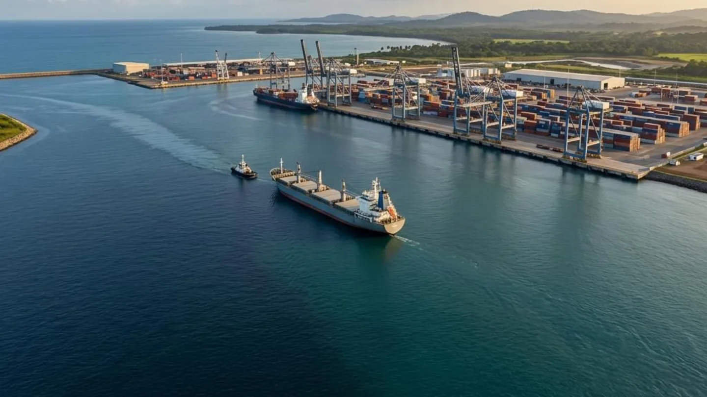
A port navigation risk assessment tells a port authority which hazards in its approaches, channel and basins could cause a collision, grounding or allision, and which controls will reduce that risk to an acceptable level. The IALA SIRA method (Simplified IALA Risk Assessment) is the recognised way to run that assessment without a large data-modelling budget. Maximum Services Sarl offers SIRA assessments to port authorities and harbour masters in the Gulf of Guinea, to help them decide where to invest: in buoys and lights, in VTS coverage, in pilotage rules, or in dredging.
What is the IALA SIRA risk assessment?
SIRA is set out in IALA Guideline G1138, The Use of the Simplified IALA Risk Assessment Method (SIRA). The current edition was revised on 16 December 2022 and replaces the first edition approved in 2017. It is a qualitative method: experienced mariners, pilots, port engineers and authority staff identify hazards together, then score each scenario for likelihood and consequence.
SIRA sits inside IALA's wider risk-management toolbox, alongside G1018 Risk Management, the quantitative IWRAP model (G1123) and the PAWSA workshop method (G1124). For most African ports, SIRA is the right entry point. It works with the data a port already has, and it produces a defensible action plan in weeks rather than months.
Why port authorities need a navigation risk assessment now
Under SOLAS Chapter V, Regulation 13, contracting governments must provide aids to navigation that match the volume of traffic and the degree of risk. A documented risk assessment is how a port shows it has done that. It is also the evidence that insurers, P&I clubs, lenders and port-state inspectors increasingly ask for.
The pressure is rising across West and Central Africa:
- Larger ships. Container and bulk vessels calling at deep-water terminals like Kribi are longer and deeper than the ships the original channel markings were designed for.
- New terminals and dredging works. Every new berth changes traffic patterns, turning areas and anchorage use.
- Ageing aids to navigation. Unlit or off-station buoys, and lights below their nominal range, are typical issues the assessment checks for.
- Mixed traffic. Artisanal fishing canoes, supply boats, tankers waiting for STS operations and deep-sea ships share the same waters.
The SIRA process step by step
Our assessment follows the G1138 logic, adapted to each port's context:
- Define the scope. Agree the waterway limits, the vessel types and the time horizon (today's traffic or the traffic expected after a new terminal opens).
- Collect the data. AIS records, incident and near-miss logs, charts and hydrographic surveys, the AtoN inventory and availability records, and meteorological and current data.
- Identify hazards. In a structured workshop with pilots, tug masters, VTS operators and the harbour master's office, list natural and human-made hazards.
- Build scenarios. For each hazard, describe how an accident could happen, for example a loaded tanker losing steerage at the channel bend in a cross-current.
- Score the risk. Each scenario gets a likelihood score and a consequence score, usually on a 1–5 scale. Their product places it in a low, moderate, high or very high risk band.
- Select risk control options (RCOs). These include new or upgraded buoys and lights, AIS AtoN, leading lines, speed limits, tug escort rules, pilotage boundaries, VTS procedures and dredging.
- Report and monitor. Produce a risk register and an action plan with owners and dates, then review it after major changes or incidents.
What the port receives
| Deliverable | What it is used for |
|---|---|
| Hazard and scenario register | The shared reference for the harbour master, pilots and VTS |
| Risk matrix and ranking | Showing which risks need action first |
| Aids-to-navigation audit | A buoy-by-buoy and light-by-light check against IALA standards |
| Risk control action plan | Budget planning, tender preparation and donor or lender files |
| Executive summary | A short report for the board and the ministry of transport |
The Maximum Services approach
Our team combines port engineering, marine operations and safety-management experience. That matters in a SIRA workshop: the method is only as good as the people around the table and the way the discussion is run. We bring a certified IALA SIRA specialist, bilingual French–English facilitation, and the field knowledge of Central and West African ports that generic international consultants often lack.
We also link the navigation risk assessment to the port's other management systems: the ISO 9001 quality system, ISO 45001 occupational health and safety, ISPS security and the port emergency plan. That way, the actions agreed in the workshop get done rather than staying in a report.
Frequently asked questions
What is the difference between SIRA and IWRAP?
SIRA is qualitative and workshop-based. Experts score scenarios using structured judgement and the data available. IWRAP is a quantitative computer model that estimates collision and grounding frequencies from detailed AIS data. Many ports start with SIRA and use IWRAP later for specific questions, such as a new channel layout.
How long does a SIRA port navigation risk assessment take?
For a single port and its approach channel, expect about four to eight weeks from data collection to final report. That includes one or two workshop days on site. Larger port complexes, or assessments linked to a new terminal design, take longer.
Who should take part in the SIRA workshop?
The harbour master's office, pilots, tug and mooring operators, VTS staff, the AtoN maintenance team and terminal operators. Where possible, include representatives of shipping lines or agents and, for coastal waters, the navy or maritime administration.
Is a SIRA assessment mandatory?
SOLAS does not name SIRA. It does require aids to navigation suited to traffic and risk, and IALA recommends formal risk assessment to show that. In practice, a documented SIRA is now expected by funders, insurers and auditors.
Request a SIRA assessment
Planning a new terminal, a dredging campaign or an aids-to-navigation upgrade? Contact Maximum Services Sarl in Douala for a scoping call and a technical proposal in English or French.